
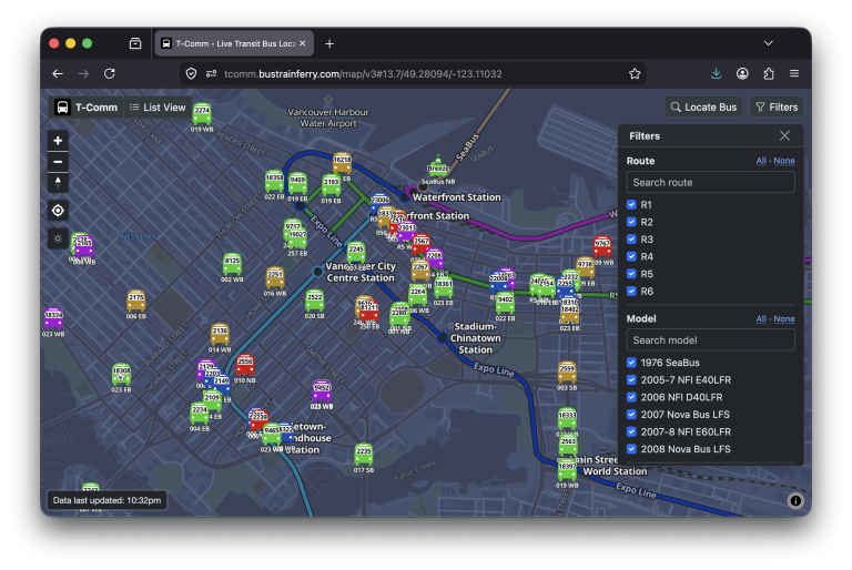
It’s been a while since I’ve posted something here, and looking through the side projects published here, many of them are no longer alive. But one of my them has stayed running for just over 15 years now: my T-Comm live bus map and tracker. This website, which I created while I was still studying in university, visualizes the location of all of TransLink’s buses together on one map. Last week, I upgraded T-Comm’s mapping engine from Leaflet to MapLibre GL, marking the third version of the map in the site’s history. The original version, from 2012-2016, used Google Maps. Continue Reading
maps
Whistler Ski Run Topographic Map
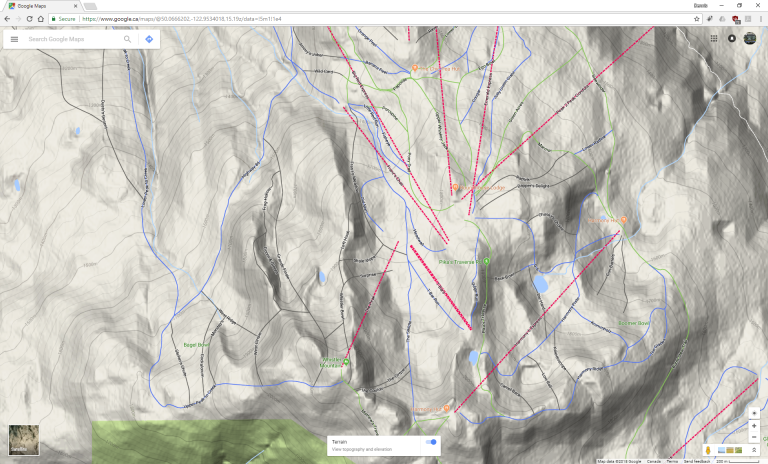
Whistler Blackcomb is pretty big, so one would usually look at a map to find suitable runs. What is provided in the “Mountain Atlas” looks nice and mostly works, but for map geeks is there anything better? Turns out that Google Maps conveniently has the ski runs in its map. But there’s more: Google Maps in Terrain mode shows the contour lines like a topographic map!
My T-Comm site gets its 15 minutes of fame
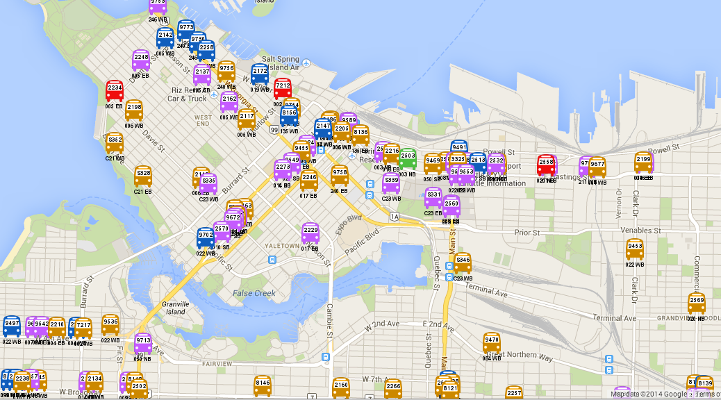
Earlier today, a few local blogs mentioned my T-Comm website (a live map of all the buses in Metro Vancouver): This real-time Vancouver bus tracking map is pretty obsession-worthy (Vancouver Is Awesome) Vancouver bus tracking map allows you to track movement in real time (Vancouver Courier) This map will tell you where every public transit bus in Metro Vancouver is (Urbanized Vancouver/Daily Hive) The site wasn’t really designed for day-to-day navigation, but more for transit enthusiasts who are looking to find specific buses (e.g., the double decker test buses we have on the streets right now, 1008 and 1009). In Continue Reading
Side Project 1: Real Time Bus Map in Vancouver
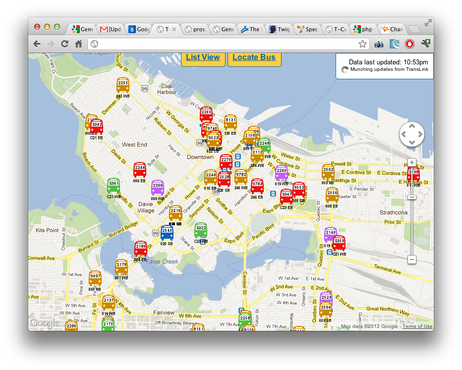
Since TransLink released their new mobile Next Bus site with real-time GPS updates of bus locations, I’ve been trying to find ways to get the data and rehash it into something that Metro Vancouver transit enthusiasts (more specifically, enthusiasts who chase buses and monitor the transit system’s operation) will find useful. There were two main shortcomings of TransLink’s site from the viewpoint of a transit enthusiast: Can’t search for a specific bus. Often times transit enthusiasts “chase” a particular bus, usually a new bus, a fresh bus after a midlife refurbishment, or a bus with a new advertisement wrap. Can’t Continue Reading